How Directional Drilling Works in Central Florida Ground
Lake country is karst country
The metro's defining landscape — thousands of lakes strung across four counties — is the karst announcing itself. Surface sands drill like a gift; beneath them a clayey confining layer does quiet structural work; beneath that, the limestone runs cavernous, and where its dissolution has flooded, Central Florida gets a lake instead of a headline. For drilling, the translation is the peninsula's standard posture at lake-country intensity: full-time returns watching, staged lost-circulation response, conservative pressures, and honest respect for a confining layer whose thickness varies without notice. The famous Winter Park collapse of 1981 is the region's permanent reminder of what the limestone can do; the trade's answer is vigilance as standard scope.
The water table is a coworker
With lakes at eye level in every direction, the water table sits close under the sands nearly everywhere — which makes wet-ground technique the daily baseline: pits pump from the first bucket, product ballasts on the pull, and fluid programs account for saturated ground's behavior. The same closeness is why the region regulates its water so carefully; the aquifer the lakes express is the metro's supply, and clean practice over it is the trade's standing obligation.
The sequence, lake-country edition
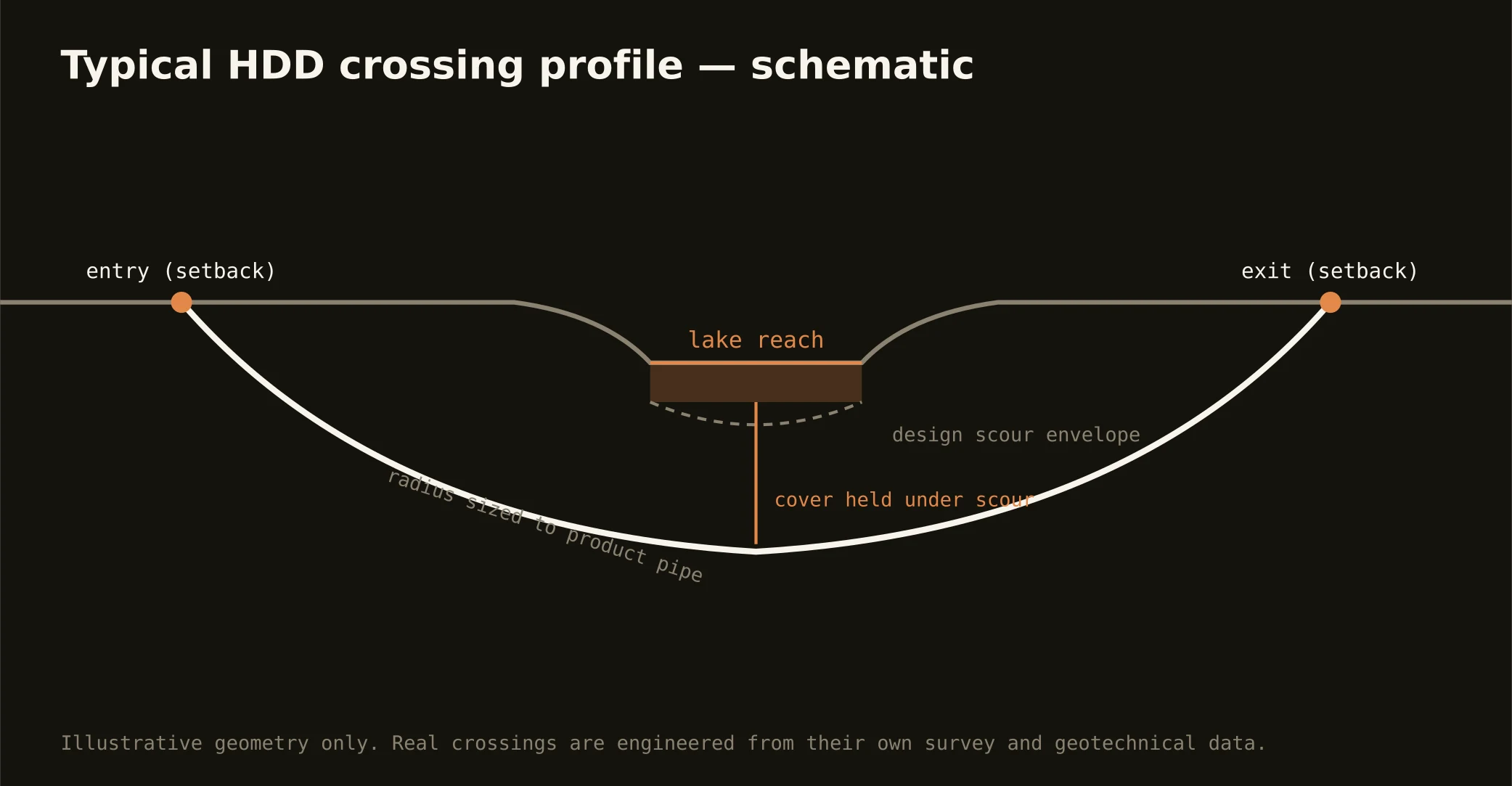
Standard bones: 811 locates plus private designating, potholes on every crossing utility, pilot bore, reaming to roughly one and a half times product, pullback, restoration. Central Florida bends: fluid losses answered from the playbook, pits pumped in the high water table, product weighted against float, shoreline setbacks honored where the route threads the lakes, campus protocols where the client is a resort, and restoration to a landscape standard the visitor economy genuinely enforces.
Who owns what you're crossing
City streets belong to their dozens of municipalities; county roads to Orange, Seminole, Osceola, or Lake public works; the state system to FDOT's district; and the toll network to the regional expressway authority's own process. Lakes and their canals bring the water management district's works-and-lands rules and environmental review; railroads — including the commuter spine — permit their own corridors; attractions campuses run their own gates and calendars. The quote names every owner on your alignment, because each one is schedule.
Straight answers
Can a bore cause a sinkhole?
The lakes already tell you what the limestone can do, and small-bore HDD run to lake-country standards manages the two levers that matter: annular pressure kept modest, and fluid losses answered from a written playbook instead of a shrug. If the ground starts behaving strangely, the job pauses for engineering eyes — that escalation habit, more than any single technique, is what responsible drilling over this karst looks like.
How deep do bores run under Central Florida streets?
Cover follows the owning authority's standard and sits below everything potholed on the alignment; lake and district-canal crossings run to the district's criteria under the section. The sands above the confining layer usually offer a sensible horizon — the bore plan states your number.
Is drilling near the attractions different?
The ground is the same; the site conditions aren't. Campus work adds access protocols, operational work windows, staging invisibility, and show-quality restoration — real scope, priced as such. It's the market's signature client condition, and the crews that thrive here treat it as craft rather than burden.
Ready to put a number on a real crossing? Send the scope — a person prices it.