Lake & Chain-of-Lakes Crossings
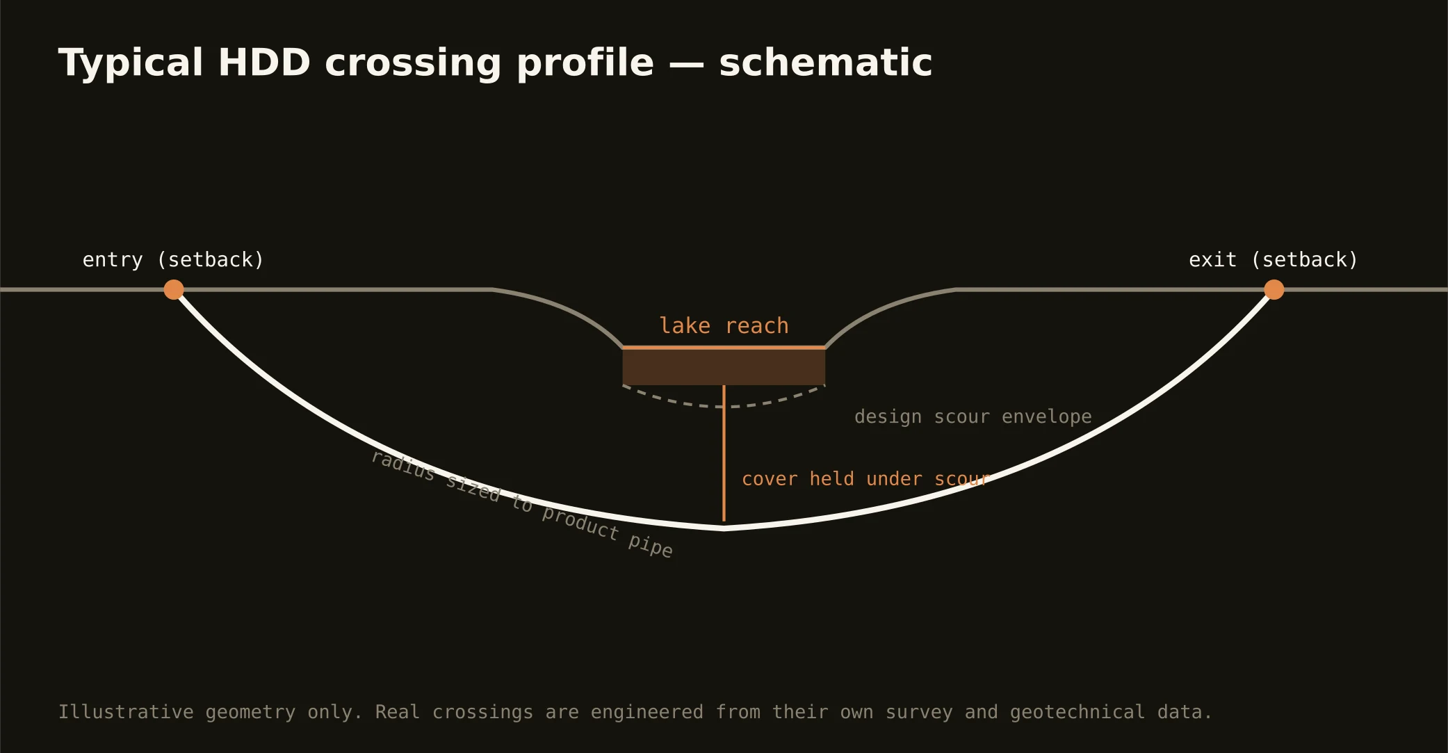
The metro's thousands of lakes aren't scenery to a utility route — they’re the alignment problem, and crossing them is the signature Central Florida bore. From Winter Park's chain to the Clermont chain to the Kissimmee system's headwaters, alignments meet water that is karst-connected, canal-linked, and regulated: setback entry and exit above the shoreline vegetation, a profile holding cover under the lake's design section, and an exit that leaves the waterfront exactly as the district found it.
The permitting reflects what the lakes are: connected expressions of the aquifer, managed for navigation, flood control, and water quality. The water management district's works-and-lands rules govern crossings of district canals and structures; environmental review rides on the water itself; and the adjacent road or city adds its owner to the stack. Chain-of-lakes canals — the navigable links residents prize — carry their own local sensitivities, and our site plans respect them visibly.
Technically, lake crossings concentrate the region's karst question under open water: saturated sands, a confining layer of local reputation rather than guaranteed thickness, and cavernous limestone below. Geotech drives the profile, containment stages on both shores, pressures run conservative, and the inadvertent-return plan is written before the pilot — over lakes people live on and swim in, that's the whole license.